
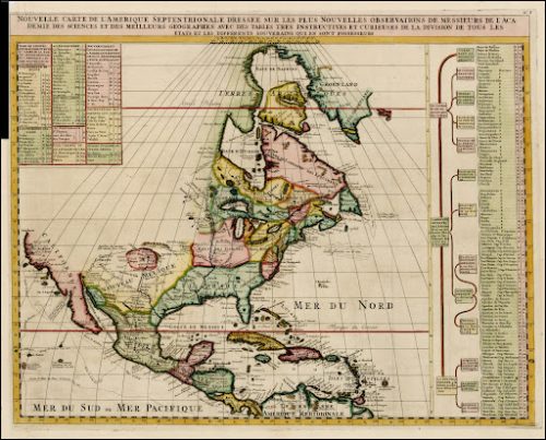
Join us for an in-depth and up-close look at colonial and revolutionary era maps! This event will include a tour of the Special Collections and Archives exhibit, Reading the Revolution: Print Culture in 18th Century America, along with additional cartographic materials from the 17th and 18th centuries. Exhibit curator and Special Collections Librarian Megan Mulder will lead this session investigating how maps tell the story of the colonization and eventual independence of English North America.
The program will be offered on two dates: Friday, July 10, 2:00-3:00 pm; and Wednesday, July 15, 6:00-7:00 pm. The same content will be repeated in both sessions. This event is free and open to the public, but space is limited, so registration is required.
For more information, please contact archives@wfu.edu.